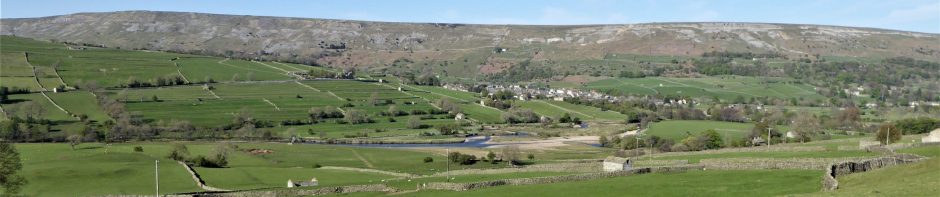

The two large mounds on the valley floor to the east of Grinton village have been identified as glacial terminal moraines, i.e., mounds of mixed unsorted till, formed by debris pushed by the Swaledale glacier to the farthest point of its advance.
In human history, the mounds have been modified, but how far back in time and for what purposes remain largely unclear. It has been suggested that one or both mounds could have been an Iron Age defended settlement, a Roman or medieval fort, or all of them in succession.
In the early 1900s, both mounds were within a golf course, which might have impacted on archaeological remains. Most recently, the western mound was used to construct a Cold War bunker used by the Army’s Royal Observer Corps from 1965 to 1991.
SWAAG has started trying to discover evidence of man’s earlier use of the mounds. You can read about the initial investigations by clicking the following links:
– Grinton Mounds Excavation Project 2026 and 2027
– Grinton Mounds survey report 2022-23, by SWAAG;
– Grinton Mound East and Cogden Hall, Swaledale, geophysical surveys report by Archaeological Services, Durham University, on behalf of SWAAG, report 2959 (revised), February 2013;
– Grinton Mound East and Cogden Hall, Swaledale, geophysical surveys report by Archaeological Services, Durham University, on behalf of SWAAG, report 2814, February 2012;
– Brief description and survey sketch of one mound in the Swaledale Ancient Land Boundaries 9th interim report (1992).
And in the SWAAG database:
– Photographic Category PDF (2012) – scroll to record 483, image 2.
– SWAAG Sites Category PDF (2011) – see the first entry, record no. 1, by Stephen Eastmead.