
In the SWAAG database, 14 entries categorized as Photographic and 30 categorised as Geographic cover a broad range of disciplines concerning the natural world and the built environment.
Most of the entries can be found elsewhere on this website by links under the theme headings most-appropriate to their specific subject matter. However, a few do not fall easily under any of the themes, and so links to them appear below. Go to:
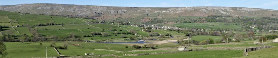
Photographic category PDF and scroll to record number 483 for several high-quality images taken in 2012 by SWAAG member Stephen Eastmead on a clear day from Fremington Edge. Among the subjects are studies of the villages of Arkle, Booze, Grinton, and Reeth.
Geographic category PDF for photographs by SWAAG president Tim Laurie. See:
– Record 638 – Images taken on a fine day in 2012, from the excavations at The Hagg, Fremington, of Grinton bridge and village and Harkerside.
– Record 688 – A single image taken in 2013 from the excavations at The Hagg, Fremington, of Grinton and Grinton Bridge.
– Record 713 – Three images of Gotes Road, from Holgate to Hurst, with the remnants of heavy snow drifts.
– Record 940 – Views northward to Mallerstang Edge from the upper slopes of Shunner Fell.